"Methods for landscape characterisation and mapping: A systematic review" is now available online. This is the first paper in Trond Simensen's PhD project. The paper reviews methods for characterising and mapping landscapes.
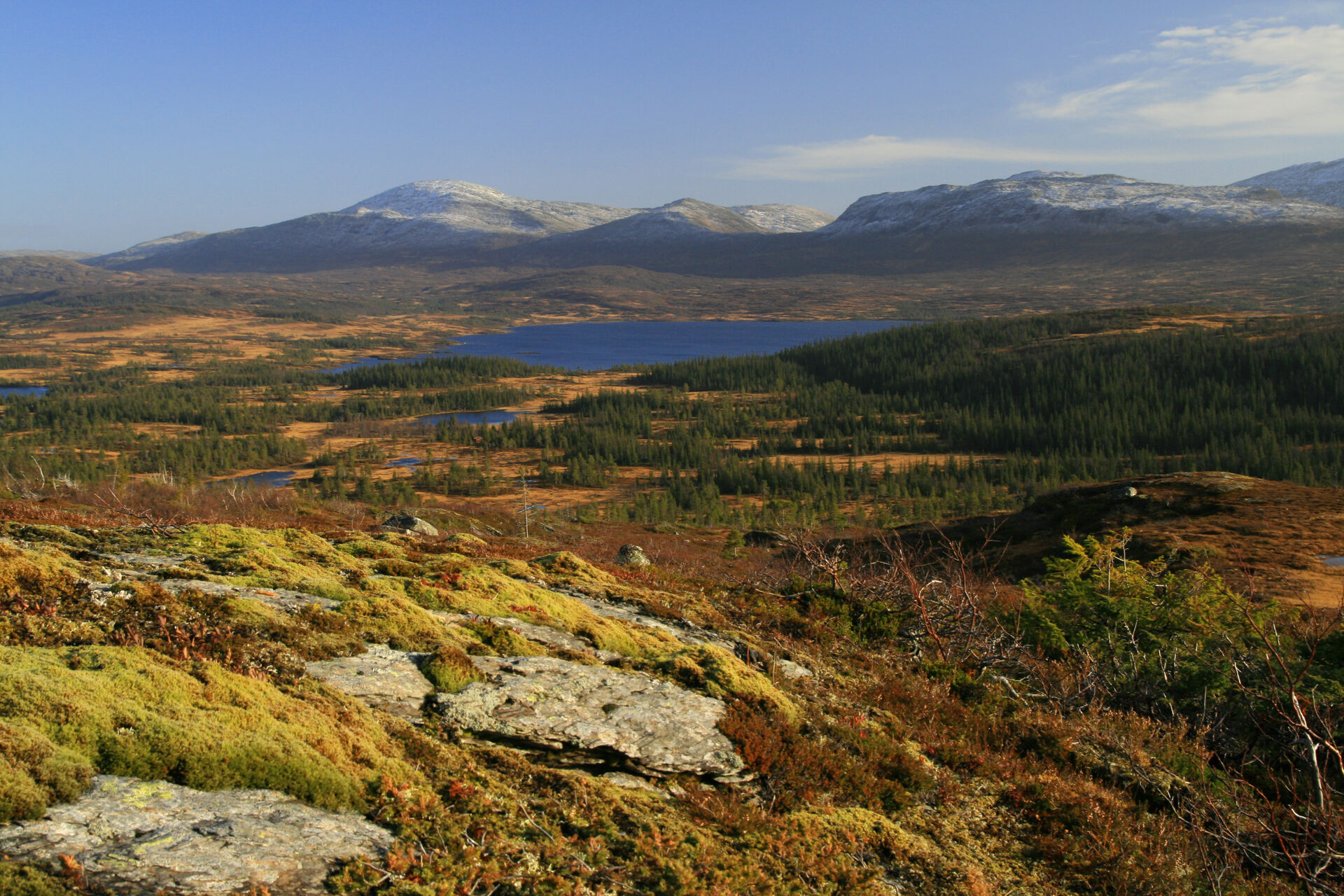
Natural variation and biodiversity can be described and mapped on several organizational levels, from genes and species via ecosystems to landscapes and biomes. On the landscape level, broad relationships in nature are mapped, usually at scales from 1:50 000 to 1:500 000, with areas down to 1 km2 in size.
There is great diversity in methods for mapping landscapes around the world. The paper reviews a selection of contemporary approaches to landscape mapping, pinpointing methodological strategies, and which aspects of the landscape that are used to identify and characterise the landscape types.