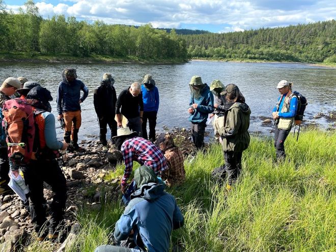
The scientific purpose of the field trip was to study effects of scale in field-based mapping of ecosystem types at high latitudes. Commonly, ecosystem types in Norway are mapped at a scale of 1:5000. Coarser scales can increase the speed of mapping, but the method for mapping at a scale of 1:20 000 using NiN has not been sufficiently tested or compared to finer-scale mapping.
Iškoras was chosen because our colleagues in geosciences placed a mobile climate station there, and because the GEco group could use more experience with northern ecosystems in our work with NiN. Ecosystems at northern latitudes have a lower regional species pool, and the ability to separate and delineate ecosystem types is likely to be more challenging than at lower latitudes.
Mapping the vegetation around the mobile climate station also allow us to relate climatic variables to specific NiN ecosystem types, opening a whole range of further scientific questions. The climate station records wind direction, CO2 flux and much more.
In addition to the scientific endeavours, the trip also served as the research group's annual meeting and as a teambuilding and learning opportunity.